SBC SURVEYING & ENGINEERINGLAND · GIS · ENGINEERING · DRONE
Land · GIS · Engineering · Drone survey

Every level.Every boundary.Measured right.

DGPS, total station, drone, GIS, GPR, bathymetric and LiDAR survey for land, railways, roads, canals, transmission lines and building projects. Field crews and drafting from Dhanbad, working across Jharkhand, Bihar, West Bengal and Odisha.

SEARCHING…
SATELLITES04
PDOP4.8
DATUMWGS 84 / UTM 45N
BASE23.7957 N, 86.4304 E
01 / Services

Eight ways to measure a site

One team for the full chain: control points, field data, processing, and drawings that go straight into design or land records.

S-01 GNSS

DGPS survey

Control points and benchmarks in WGS 84 / UTM, static and RTK, for every job that needs real coordinates.

S-02 TS

Total station

Topographic, level sheet, L-section and cross-section survey for roads, canals, drains and building sites.

S-03 UAV

Drone survey

Orthophotos, DEM and contours from UAV flights, overlaid with plots and boundaries for planning and land work.

S-04 GIS

GIS & cadastral

Old mauza maps georeferenced and digitised, plots overlaid on current survey, area statement for every plot.

S-05 GPR

GPR survey

Ground penetrating radar to find buried utilities, pipes and voids before excavation.

S-06 SONAR

Bathymetric

River, pond and reservoir bed levels for crossings, dredging, hydrology and capacity studies.

S-07 TLS

Terrestrial LiDAR

Laser scanning of structures, yards and plants for dense 3D point clouds and as-built drawings.

S-08 ALS

Airborne LiDAR

Corridor and area mapping from the air for transmission lines, highways and large sites.

Topographical surveyEarthwork cut & fillLevel sheets, L & X sectionsDrainage & water-logging surveyHydrological reportsStake-out & layoutLand record checksGeo-tagging
SBC survey equipment: total stations, GNSS receivers and tripods in their casesOUR OWN EQUIPMENT · KATRAS BASE
Why SBC

Field to final drawing, one team

  1. 01
    Own instrumentsTotal stations and GNSS base-and-rover sets kept and checked in-house, so crews move when you need them.
  2. 02
    In-house CADDrafting in AutoCAD Civil 3D with our own automation tools for sections, areas and volumes.
  3. 03
    Your formatDrawings and reports in your title block and sample format, with a revision record on every sheet.
  4. 04
    Geo-tagged proofSite photos stamped with location and time for every field day, ready for your records.
02 / In the field

Our crews at work

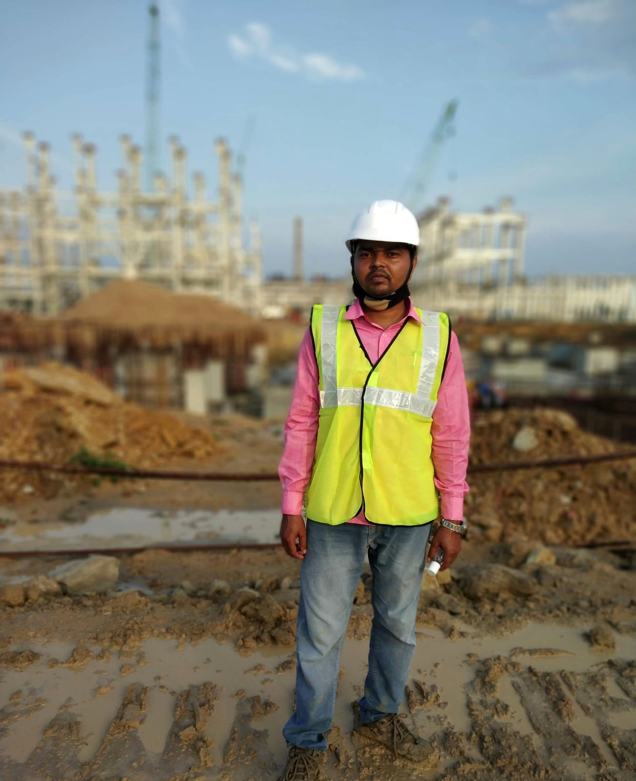
Real photos from SBC sites: railways, mines, canals, roads and water bodies across Jharkhand, Bihar, West Bengal and Odisha. Every photo is from our own crews.
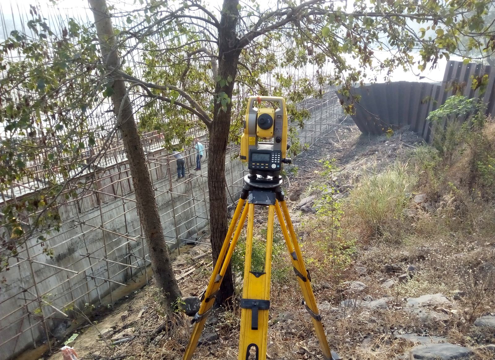
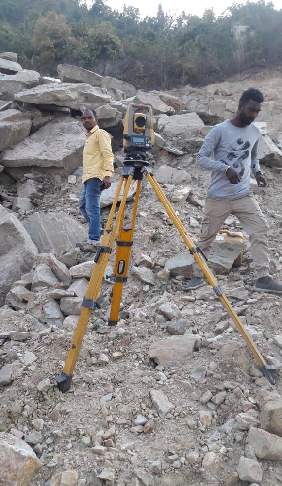
Total station set up beside a retaining wall
TSTotal station setup at a retaining wall
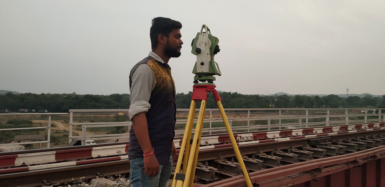
Surveyor with total station on a railway bridge
RAILSurvey on a railway bridge
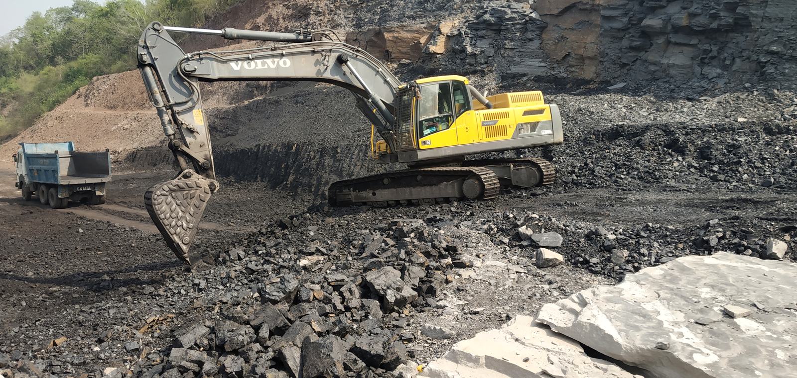
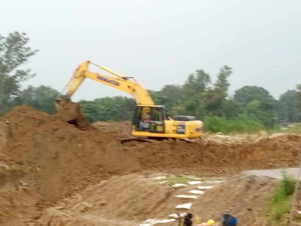
Excavator in an open-cast mine
MINEOpen-cast mine survey
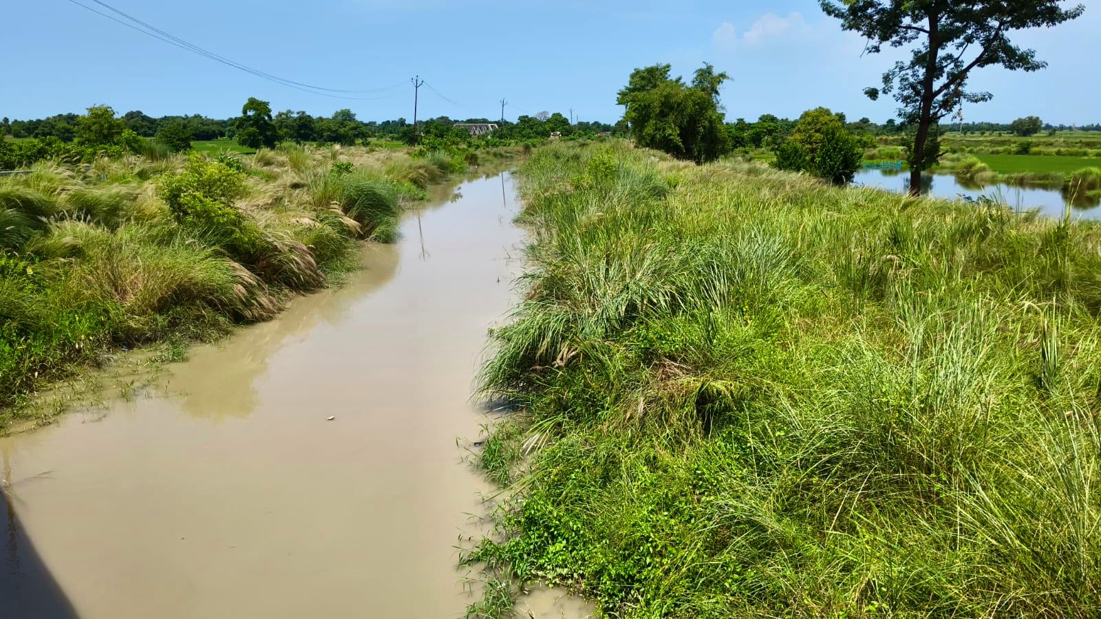
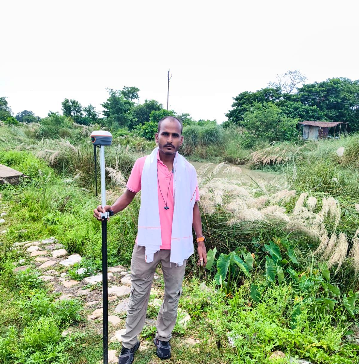
Surveyor with GNSS rover beside a canal
GNSSCanal survey, Bheriharwa, Bihar
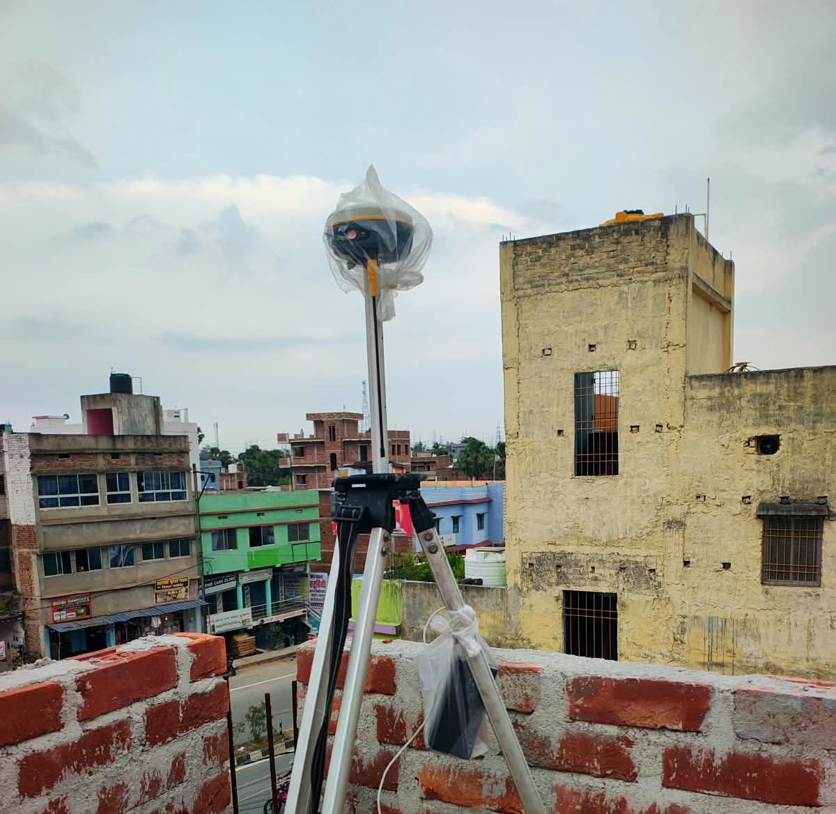
DGPS base station on a rooftop
DGPSBase station, Bihar Sharif
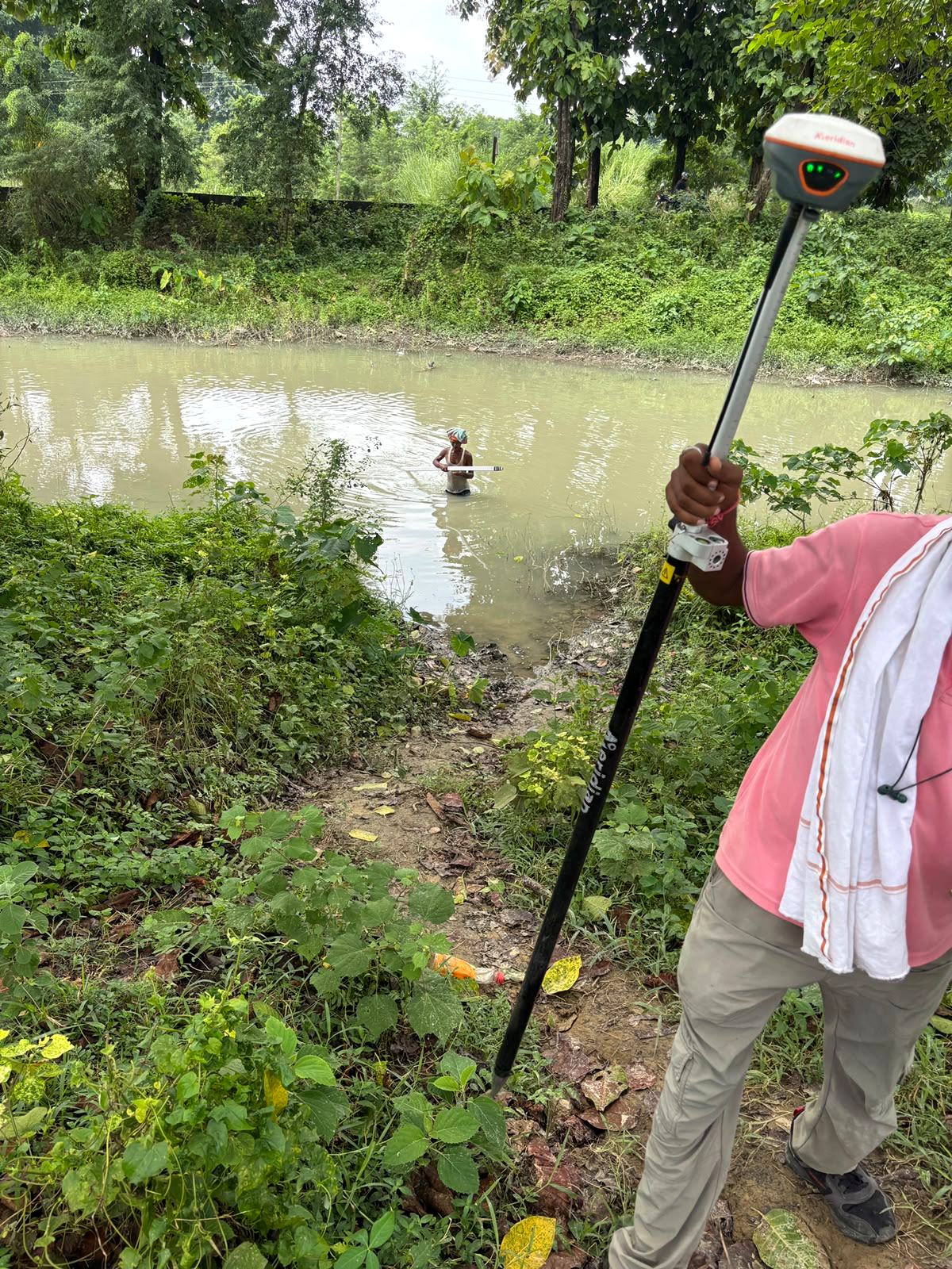
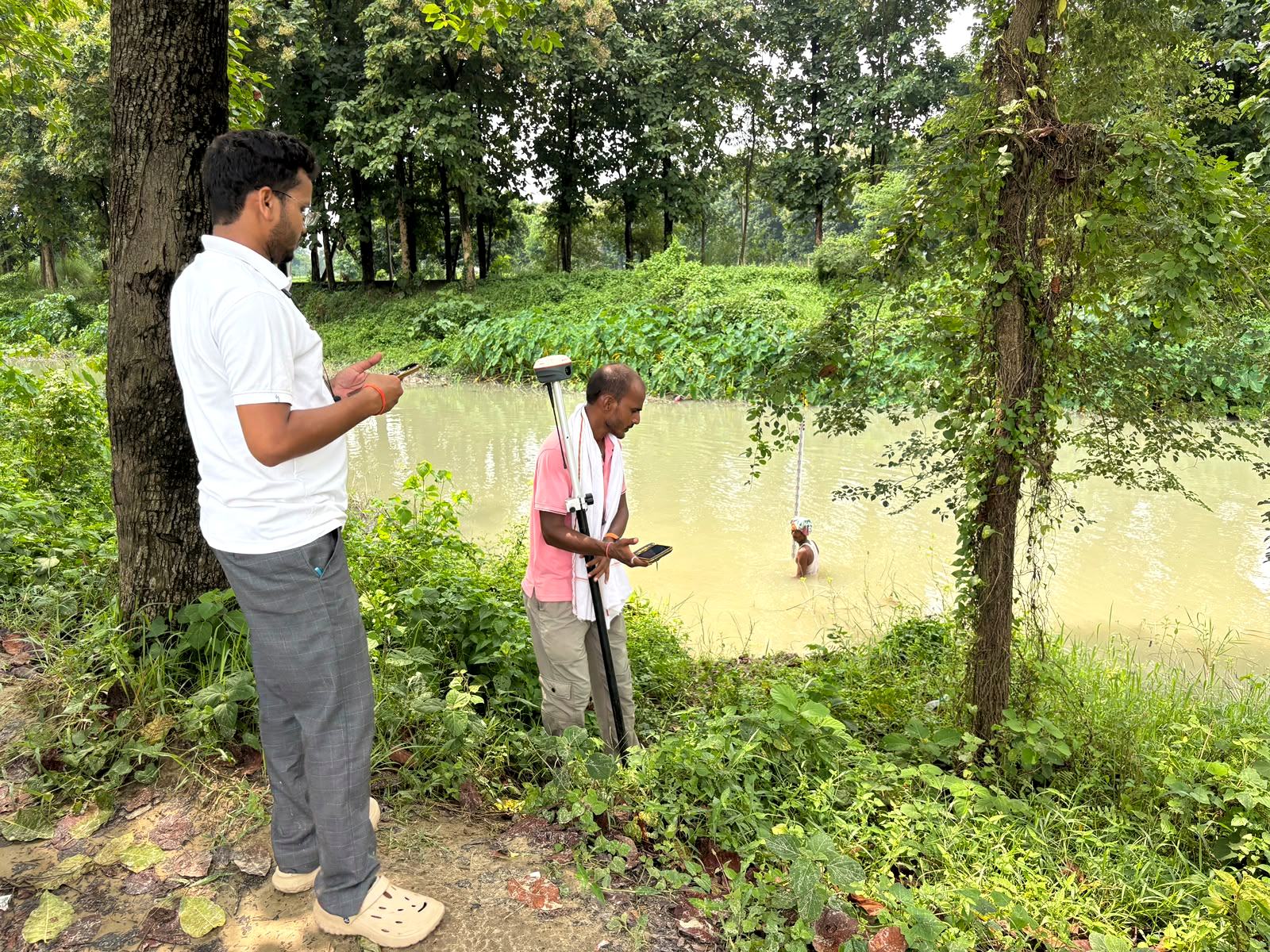
GNSS rover pole at a pond edge
GNSSWater body survey, Bihar
Survey crew with total station on rocky ground
TSCrew on rocky terrain
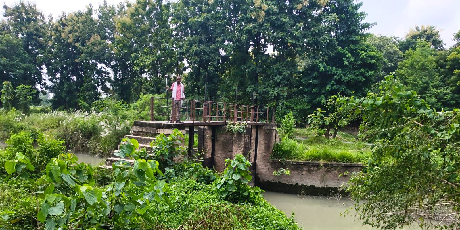
Canal regulator structure near Raxaul
CANALCanal structure survey, Raxaul, Bihar
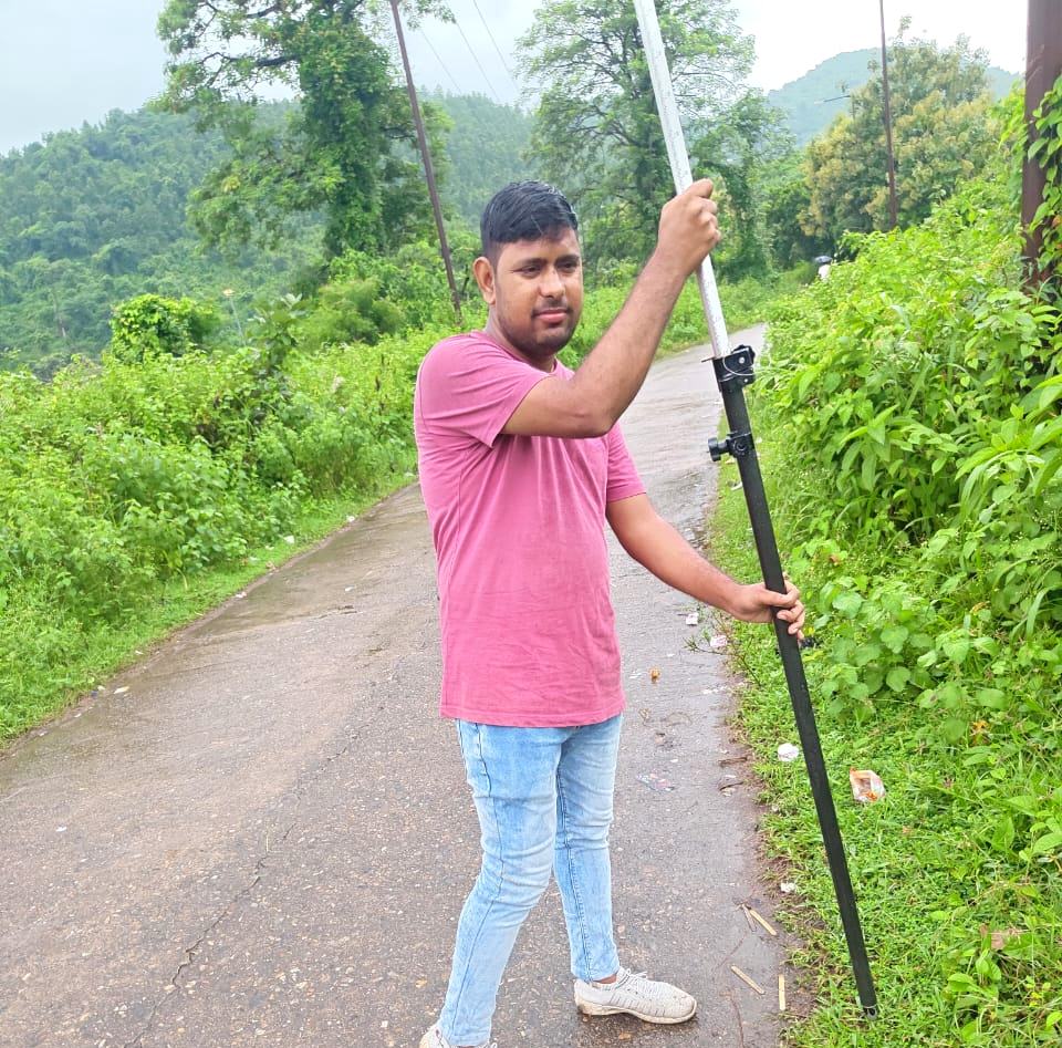
Surveyor holding GNSS rover on a road
ROADRoad survey, Kurli, Jharkhand
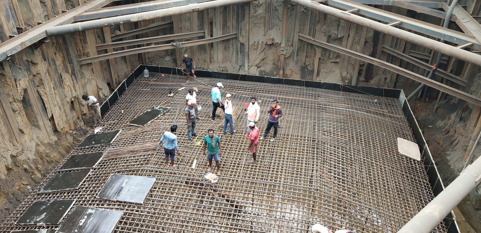
Workers on a raft foundation reinforcement mesh
LAYOUTLayout check on a raft foundation
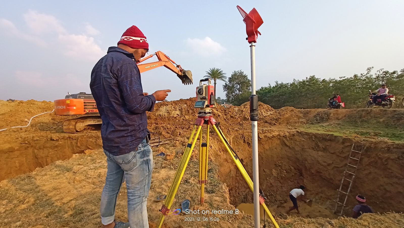
Surveyor reading a total station beside an excavation with a prism pole
TSExcavation levels with total station and prism
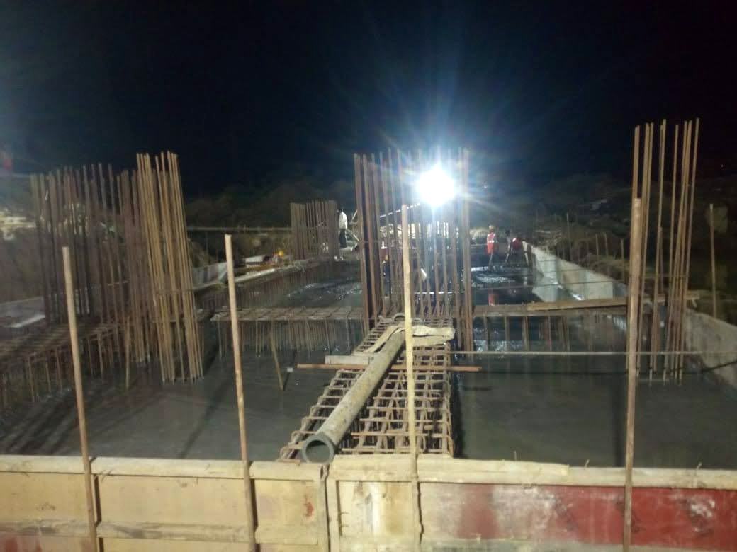
Construction site lit at night with formwork and reinforcement
NIGHTNight shift layout on a live site
Survey team recording points at a pond
GNSSPond and drainage survey, Bihar
UAV-01 · MAPPING
ALT 40.0 m AGL · GSD 2.5 cm
03 / Drone mapping

From the air, line by line

Planned flight lines, ground control points on DGPS, and an orthophoto built strip by strip. Move your cursor to tilt the view.

04 / Workflow

Field to drawing

  1. 01
    Point cloudMillions of measured points from DGPS, total station, drone or LiDAR, each with E, N and RL.
  2. 02
    Surface modelPoints joined into a triangulated ground model. Breaklines keep drains, bunds and roads sharp.
  3. 03
    ContoursContours generated from the model at the interval your design needs.
  4. 04
    Plot drawingBoundaries and plots on the surveyed ground, with an area statement for each plot.
AREA STATEMENT · SAMPLE
05 / Selected work

Recent jobs

01 / 05 · Site photos and drawing illustrations, client names withheld
P-01 · CADASTRAL
GIRIDIH DISTRICT, JHARKHAND

Cadastral overlay & area statement

Drone orthophoto with an old survey map overlaid, plot boundaries traced and area worked out per plot.

  • 18.12 acre
  • 27 plots
  • A0 sheet
  • Area report
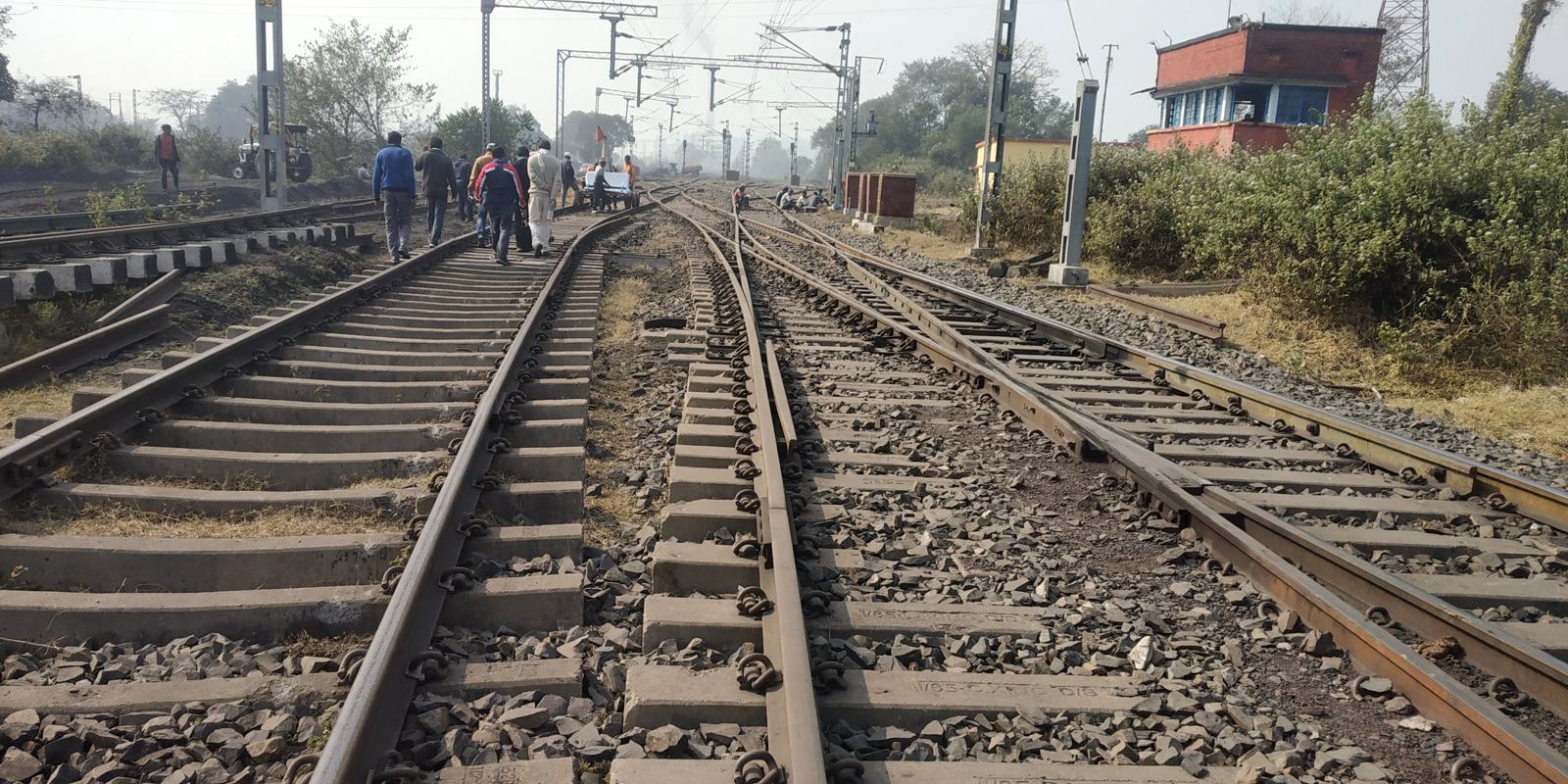
Total station set up at a railway sidingP-02 · RAILWAYS · SITE PHOTO
JHARKHAND

Railway yard drainage surveys

Topographic surveys of railway yards for water-logging and drainage planning, with drain L-sections.

  • Topo plan
  • Drain profiles
  • DXF + PDF
P-03 · URBAN
RANCHI, JHARKHAND

Topographical survey, proposed bus stand

Full topographic plan of the site for a proposed government bus stand.

  • 9,080 sq m
  • Levels & features
  • Area statement
P-04 · POWER
BIHAR

River crossing hydrology

Hydrological reports for transmission line towers at river crossings, with river bed and bank surveys.

  • River sections
  • HFL study
  • Report
Canal structure near RaxaulP-05 · IRRIGATION · SITE PHOTO
BIHAR · JHARKHAND

Canal & road earthwork

Cross sections along alignments with chainage, design sections and cut and fill quantities.

  • X-sections
  • Cut / fill
  • Excel quantities
06 / Deliverables

What you receive

Drawings and data in the formats your engineers and land offices already use, with a revision record on every sheet.

8survey methods in-house
A0–A3drawing sheets
UTM 45NWGS 84 coordinates
JH · BR · WB · ODstates with completed site work
DWG · DXF · PDFDrawingsPlans, sections and profiles with the SBC title block and revision table.
XLSX · PDFCalculationsArea statements, earthwork and volume sheets.
CSV · LAS · TIFRaw dataPoint files with Point, E, N, RL, Code; point clouds; orthophotos.
PDFReportsHydrological and survey reports in your client's format.
FAQ

Before you call

What do you need from me for a quote?

The site location (a Google Maps pin is enough), the approximate area or length, what the survey is for, and your deadline. If you have a drawing format or sample, send that too.

Do you work outside Jharkhand?

Yes. We have completed site work in Jharkhand, Bihar, West Bengal and Odisha, and take jobs further away when the scope suits.

Which coordinate system do you use?

WGS 84 / UTM by default, tied to DGPS control points. We can also work to your project's local grid and benchmarks.

What files will I receive?

DWG / DXF drawings and PDF prints, Excel sheets for areas and quantities, and raw point files (Point, E, N, RL, Code). Orthophotos and point clouds for drone and LiDAR jobs.

Can you draw in our company format?

Yes. Send a sample sheet and we match its layout, title block and text styles.

GNSS survey team at a field site in Jarmundi, Jharkhand
Ready when you are

Crew, equipment and drawings. One call.

Book a site visit →
07 / Contact

Got a site? Let's measure it.

Survey enquiry

Send on WhatsApp →

Opens WhatsApp with your details filled in. You press send.